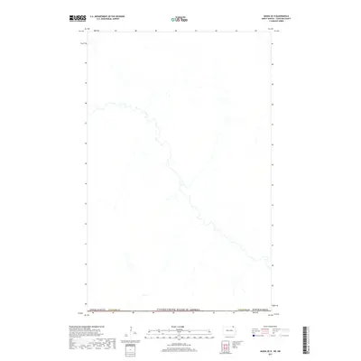
2017 Map of Maida OE N
USGS Topo · Published 2017About this map
The international border between the Canada/United States of America and Cavalier Co, North Dakota defines the southern edge of this sparsely labeled northern landscape. Recorded in 2017, the area is characterized by a dense network of watercourses and wetlands that flow across the plains of the far northern interior. The geography reflects the remote nature of the borderlands, where the land is primarily divided by natural hydrography rather than dense human settlement or infrastructure. The limited nomenclature focuses on the geopolitical significance of the boundary line, marking the transition between North Dakota’s northernmost county and the international frontier.
Find a feature on this map
3 named features on this map. Tap any name to fly to it.
Don’t see what you’re looking for? This feature index may not catch every label — zoom into the map to look around manually.
Map Details
Editions of this 2017 Maida OE N Map
This is the sole edition of this map. No revisions or reprints were ever made.
Other maps of this area

1953 · Devils Lake
USGS Topo · 1:250,000

1956 · Devils Lake
USGS Topo · 1:250,000

1967 · Maida
USGS Topo · 1:24,000

1969 · Olga NW
USGS Topo · 1:24,000

1970 · Mount Carmel
USGS Topo · 1:24,000

1985 · Langdon
USGS Topo · 1:100,000

2011 · Mount Carmel
USGS Topo · 1:24,000
2011 · Olga NW
USGS Topo · 1:24,000
2011 · Maida
USGS Topo · 1:24,000
2014 · Mount Carmel
USGS Topo · 1:24,000