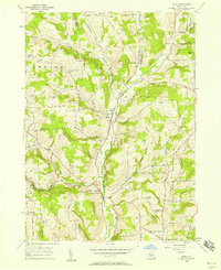
1956 Map of Maine
USGS Topo · Published 1958About this map
Nanticoke Creek serves as the central artery for this mid-century landscape, carving a valley floor that hosts the primary settlements of Maine and Union Center. The surrounding uplands are defined by a network of rural roads often named for the families that settled these heights, including Daugherty Road, Pollard Hill Road, and Ashley Road. This 1956 field check documents a transitional period where established agriculture meets early post-war rural expansion.
Find a feature on this map
51 named features on this map. Tap any name to fly to it.
Don’t see what you’re looking for? This feature index may not catch every label — zoom into the map to look around manually.
Map Details
Editions of this 1956 Maine Map
2 editions found
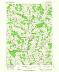
Other maps of this area

1901 · Apalachin
USGS Topo · 1:62,500

1903 · Harford
USGS Topo · 1:62,500

1904 · Binghamton
USGS Topo · 1:62,500

1904 · Greene
USGS Topo · 1:62,500

1904 · Apalachin
USGS Topo · 1:62,500

1906 · Catatonk
USGS Topo · 1:125,000

1934 · Castle Creek
USGS Topo · 1:24,000

1935 · Binghamton West
USGS Topo · 1:24,000

1942 · Binghamton West
USGS Topo · 1:31,680

1942 · Castle Creek
USGS Topo · 1:31,680