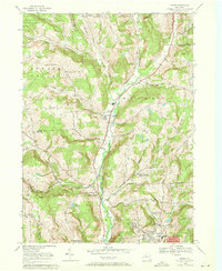
1969 Map of Maine
USGS Topo · Published 1971About this map
Nanticoke Creek serves as the central artery for this rural New York landscape, carving a valley that defines the settlement patterns of Maine and Union Center. In the late 1960s, this area reflects a classic Southern Tier mix of agricultural uplands and emerging suburban growth. The valley floor is dotted with community centers like the Maine Memorial Sch and Holy Rosary Ch, while the surrounding ridges are marked by family-named landmarks such as Pollard Hill and Hardy Hill. The northern reach is dominated by the Ketchumville State Forest, providing a stark contrast to the denser residential clusters appearing near Endwell in the south. Local genealogy is well-preserved through numerous burial grounds including Nanticoke Valley Cem and Mountown Cem, which remain tucked along winding corridors like Cornell Hollow Road.
Find a feature on this map
53 named features on this map. Tap any name to fly to it.
Don’t see what you’re looking for? This feature index may not catch every label — zoom into the map to look around manually.
Map Details
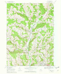
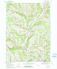
Editions of this 1969 Maine Map
3 editions found
Other maps of this area

1901 · Apalachin
USGS Topo · 1:62,500

1903 · Harford
USGS Topo · 1:62,500

1904 · Binghamton
USGS Topo · 1:62,500

1904 · Greene
USGS Topo · 1:62,500

1904 · Apalachin
USGS Topo · 1:62,500

1906 · Catatonk
USGS Topo · 1:125,000

1934 · Castle Creek
USGS Topo · 1:24,000

1935 · Binghamton West
USGS Topo · 1:24,000

1942 · Binghamton West
USGS Topo · 1:31,680

1942 · Castle Creek
USGS Topo · 1:31,680