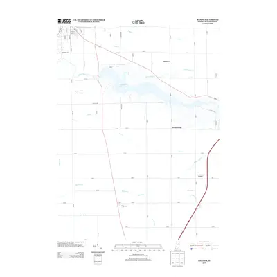
2013 Map of Majenica
USGS Topo · Published 2013About this map
Huntington Lake dominates the central landscape of this Huntington County quadrangle, formed by the damming of the Wabash River. This artificial reservoir is fed by several winding waterways, including Tah Kum Wah Cr and Rabbit Run, which flow through a largely agricultural terrain defined by a strict grid of county roads. The map captures the small, crossroads communities that anchor the surrounding farmland, such as Simpson and Browns Corner to the east, and the namesake settlement of Majenica in the south.
Find a feature on this map
66 named features on this map. Tap any name to fly to it.
Don’t see what you’re looking for? This feature index may not catch every label — zoom into the map to look around manually.
Map Details
Editions of this 2013 Majenica Map
This is the sole edition of this map. No revisions or reprints were ever made.
Other maps of this area

1950 · Andrews
USGS Topo · 1:24,000

1950 · Warren
USGS Topo · 1:24,000

1950 · Mount Etna
USGS Topo · 1:24,000

1951 · Mount Etna
USGS Topo · 1:24,000

1951 · Andrews
USGS Topo · 1:24,000

1952 · Warren
USGS Topo · 1:24,000

1952 · Majenica
USGS Topo · 1:24,000

1953 · Muncie
USGS Topo · 1:250,000

1955 · Markle
USGS Topo · 1:24,000

1955 · Bippus
USGS Topo · 1:24,000