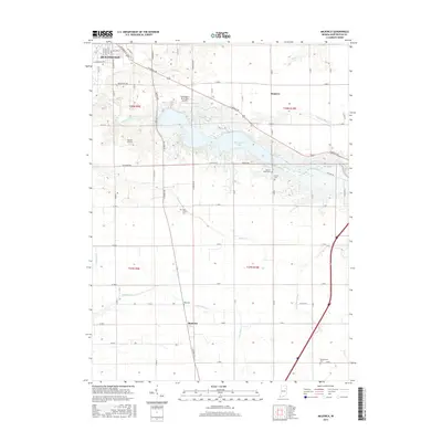
2016 Map of Majenica
USGS Topo · Published 2016About this map
The Wabash River and Huntington Lake dominate the landscape of Huntington County, defining the hydrologic character of the region. This modern topographic record captures the area as it appeared in the mid-2010s, showcasing a network of agricultural drainage systems such as Ellis Ditch and Eikenberry Ditch that support the surrounding farmland. The small settlement of Majenica serves as a local hub, situated near the intersection of several county roads and the winding Majenica Cr.
Find a feature on this map
77 named features on this map. Tap any name to fly to it.
Don’t see what you’re looking for? This feature index may not catch every label — zoom into the map to look around manually.
Map Details
Editions of this 2016 Majenica Map
This is the sole edition of this map. No revisions or reprints were ever made.
Other maps of this area

1950 · Andrews
USGS Topo · 1:24,000

1950 · Warren
USGS Topo · 1:24,000

1950 · Mount Etna
USGS Topo · 1:24,000

1951 · Mount Etna
USGS Topo · 1:24,000

1951 · Andrews
USGS Topo · 1:24,000

1952 · Warren
USGS Topo · 1:24,000

1952 · Majenica
USGS Topo · 1:24,000

1953 · Muncie
USGS Topo · 1:250,000

1955 · Markle
USGS Topo · 1:24,000

1955 · Bippus
USGS Topo · 1:24,000