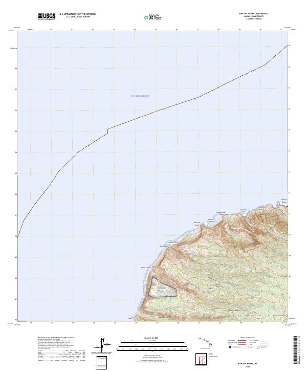
2024 Map of Makaha Point
USGS Topo · Published 2024About this map
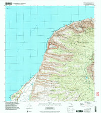
Makaha Point and the dramatic coastal ridges of Kaua'i define this landscape along the Pacific Ocean. This survey details a complex system of valleys and ridgelines, from Honopu Valley in the north to Kauhao Valley in the south. The area is characterized by a network of footpaths and administrative routes, including the Miloli'i Ridge Trl and the Makaha Arboretum Trl, which provide access to the interior. Coastal features such as Queens Bath, Honopu Arch, and Nualolo Reef highlight the meeting of volcanic terrain and sea. The presence of the Makaha Ridge facility and the small settlement at Mākole illustrate the modern human footprint within the larger Napali region, where steep drainages like Nu'alolo Stream have carved deep into the basaltic slopes.
Find a feature on this map
42 named features on this map. Tap any name to fly to it.
Don’t see what you’re looking for? This feature index may not catch every label — zoom into the map to look around manually.
Map Details
Editions of this 2024 Makaha Point Map
This is the sole edition of this map. No revisions or reprints were ever made.
Other maps of this area

1954 · Kauai
USGS Topo · 1:250,000

1965 · Waimea Canyon
USGS Topo · 1:24,000

1965 · Haena
USGS Topo · 1:24,000

1965 · Makaha Point
USGS Topo · 1:24,000

1967 · Kauai
USGS Topo · 1:250,000

1970 · Kauai
USGS Topo · 1:250,000
1983 · Haena
USGS Topo · 1:24,000
1983 · Makaha Point
USGS Topo · 1:24,000
1983 · Waimea Canyon
USGS Topo · 1:24,000
1991 · Makaha Point
USGS Topo · 1:24,000