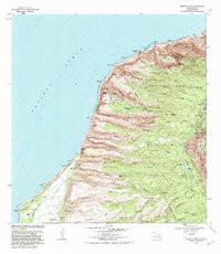
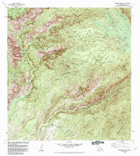
1983 Map of Makaha Point
USGS Topo · Published 1984About this map
Pacific Missile Range Facility installations stand in sharp contrast to the surrounding natural conservation lands on the western coast of Kauai. The landscape is defined by the dramatic descent of numerous valleys, such as Nualolo Valley and Makaha Valley, which carve through high ridges toward the Pacific Ocean. This 1983 revision captures the area during a period of established military presence alongside expanding state-protected lands like Polihale State Park and Kokee State Park.
Find a feature on this map
75 named features on this map. Tap any name to fly to it.
Don’t see what you’re looking for? This feature index may not catch every label — zoom into the map to look around manually.
Map Details
Editions of this 1983 Makaha Point Map
2 editions found
Other maps of this area

1954 · Kauai
USGS Topo · 1:250,000

1963 · Kekaha
USGS Topo · 1:24,000

1965 · Waimea Canyon
USGS Topo · 1:24,000

1965 · Haena
USGS Topo · 1:24,000

1965 · Makaha Point
USGS Topo · 1:24,000

1967 · Kauai
USGS Topo · 1:250,000

1970 · Kauai
USGS Topo · 1:250,000
1983 · Haena
USGS Topo · 1:24,000
1983 · Kekaha
USGS Topo · 1:24,000
1983 · Waimea Canyon
USGS Topo · 1:24,000