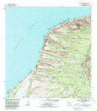
1983 Map of Makaha Point
USGS Topo · Published 1986About this map
The Pacific Missile Range Facility anchors the coastal landscape near Nohili Point, where military infrastructure meets the natural geography of western Kauai. This 1983 revision illustrates a complex intersection of defense installations and preserved lands, including the extensive Polihale State Park and Kokee State Park. The terrain is defined by a series of dramatic ridges and valleys, such as Makaha Valley and Milolii Valley, that descend from the high interior Na Pali Kona Forest Reserve toward the Pacific Ocean. Notable cultural sites are preserved within this landscape, including a Heiau near Polihale Spring and the historic Saki Mana (Site) near the southern edge. The map also captures specialized land uses, from the Kuia Natural Area Reserve to industrial features like the Mana WT and Lua Reservoir, reflecting the island's dual roles in conservation and utility.
Find a feature on this map
64 named features on this map. Tap any name to fly to it.
Don’t see what you’re looking for? This feature index may not catch every label — zoom into the map to look around manually.
Map Details
Editions of this 1983 Makaha Point Map
2 editions found
Other maps of this area

1954 · Kauai
USGS Topo · 1:250,000

1963 · Kekaha
USGS Topo · 1:24,000

1965 · Waimea Canyon
USGS Topo · 1:24,000

1965 · Haena
USGS Topo · 1:24,000

1965 · Makaha Point
USGS Topo · 1:24,000

1967 · Kauai
USGS Topo · 1:250,000

1970 · Kauai
USGS Topo · 1:250,000
1983 · Haena
USGS Topo · 1:24,000
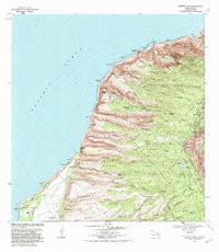
1983 · Makaha Point
USGS Topo · 1:24,000
1983 · Kekaha
USGS Topo · 1:24,000