
1968 Map of Malad City West
USGS Topo · Published 1971About this map
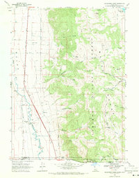
The Malad Valley floor is defined by a sophisticated system of water management and transport at the close of the 1960s. This Idaho landscape features numerous irrigation and storage facilities, including Upper Pleasantview Res and Lower Pleasantview Res, alongside the St Johns Res. These reservoirs, fed by creeks like Davis Creek and Devil Creek, support the agricultural settlements of St Johns and Pleasantview.
Find a feature on this map
25 named features on this map. Tap any name to fly to it.
Don’t see what you’re looking for? This feature index may not catch every label — zoom into the map to look around manually.
Map Details
Editions of this 1968 Malad City West Map
This is the sole edition of this map. No revisions or reprints were ever made.
Other maps of this area

1954 · Pocatello
USGS Topo · 1:250,000

1958 · Pocatello
USGS Topo · 1:250,000

1963 · Daniels
USGS Topo · 1:24,000

1968 · Ireland Springs
USGS Topo · 1:24,000

1968 · Grover Canyon
USGS Topo · 1:24,000

1968 · Samaria
USGS Topo · 1:24,000

1968 · Daniels
USGS Topo · 1:24,000

1968 · Malad Summit
USGS Topo · 1:24,000

1968 · Malad City East
USGS Topo · 1:24,000
1968 · Henderson Creek
USGS Topo · 1:24,000