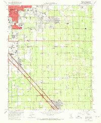
1964 Map of Malaga
USGS Topo · Published 1965About this map
Fresno expands into the fertile agricultural lands of the San Joaquin Valley on this mid-1960s survey, showing a landscape defined by an intricate network of irrigation canals and two major railroad corridors. The Southern Pacific and Atchison Topeka and Santa Fe lines run parallel southeast through the heart of the region, anchoring settlements like Malaga and Fowler. The area is characterized by heavy agricultural infrastructure, including the US Dept Agriculture Horticultural Field Station and numerous water features such as the Savory Percolation Pond and various Settling Ponds.
Find a feature on this map
74 named features on this map. Tap any name to fly to it.
Don’t see what you’re looking for? This feature index may not catch every label — zoom into the map to look around manually.
Map Details
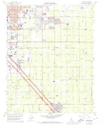
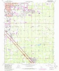
Editions of this 1964 Malaga Map
3 editions found
Other maps of this area

1921 · Bullard
USGS Topo · 1:31,680

1922 · Round Mountain
USGS Topo · 1:31,680

1923 · Malaga
USGS Topo · 1:31,680

1923 · Fresno
USGS Topo · 1:31,680

1923 · Clovis
USGS Topo · 1:31,680

1923 · Sanger
USGS Topo · 1:31,680

1923 · Bullard
USGS Topo · 1:31,680

1924 · Selma
USGS Topo · 1:31,680

1924 · Conejo
USGS Topo · 1:31,680

1925 · Caruthers
USGS Topo · 1:31,680