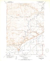
1951 Map of Malheur Butte
USGS Topo · Published 1952About this map
The prominent volcanic plug of Malheur Butte dominates the southern landscape of this 1951 survey, standing as a landmark above the Malheur River. This arid region of eastern Oregon is defined by an intricate network of irrigation, featuring the Owyhee Canal and Gillerman Canal which bring water to the farming benchlands. A complex system of levees and siphons manages the flow through the Ontario Heights area, where community life centered on the Ontario Heights Grange and the Ontario Heights Church. To the northeast, the land gives way to a series of deep drainages including North Fork Jacobsen Gulch and Jacobsen Gulch. The burgeoning transportation infrastructure of the era is evident in the layout of the Ontario Airport near Butler Blvd, marking the post-war transition of this rural agricultural corridor.
Find a feature on this map
26 named features on this map. Tap any name to fly to it.
Don’t see what you’re looking for? This feature index may not catch every label — zoom into the map to look around manually.
Map Details
Editions of this 1951 Malheur Butte Map
4 editions found
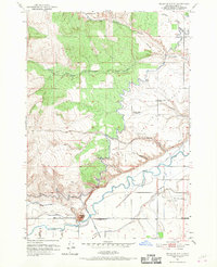
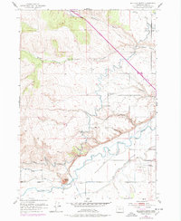
Other maps of this area

1897 · Weiser
USGS Topo · 1:125,000

1898 · Nampa
USGS Topo · 1:125,000

1906 · Mitchell Butte
USGS Topo · 1:125,000

1951 · Moores Hollow
USGS Topo · 1:24,000

1951 · Malheur Butte
USGS Topo · 1:24,000

1951 · Moores Hollow
USGS Topo · 1:62,500

1951 · Payette
USGS Topo · 1:24,000

1951 · Weiser South
USGS Topo · 1:24,000

1955 · Baker
USGS Topo · 1:250,000

1955 · Boise
USGS Topo · 1:250,000