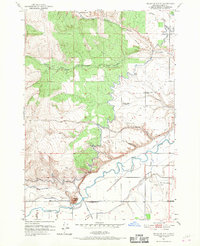
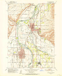
1951 Map of Malheur Butte
USGS Topo · Published 1968About this map
Malheur Butte dominates the southern landscape of this 1951 survey, standing as a prominent landmark above the winding course of the Malheur River. The area illustrates a complex network of mid-century water management essential for high-desert agriculture, featuring the Owyhee Canal, Gillerman-Man Canal, and Brosman Ditch. These man-made waterways contrast with the natural drainages of North Fork Jacobsen Gulch and South Fork Jacobsen Gulch to the north.
Find a feature on this map
26 named features on this map. Tap any name to fly to it.
Don’t see what you’re looking for? This feature index may not catch every label — zoom into the map to look around manually.
Map Details
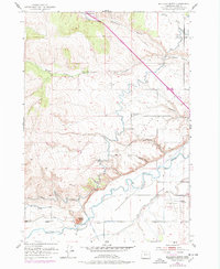
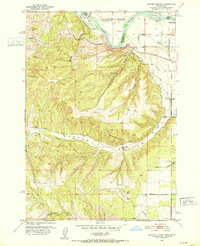
Editions of this 1951 Malheur Butte Map
4 editions found
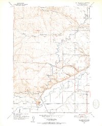
Other maps of this area

1897 · Weiser
USGS Topo · 1:125,000

1898 · Nampa
USGS Topo · 1:125,000

1906 · Mitchell Butte
USGS Topo · 1:125,000
1951 · Moores Hollow
USGS Topo · 1:24,000

1951 · Malheur Butte
USGS Topo · 1:24,000

1951 · Moores Hollow
USGS Topo · 1:62,500
1951 · Payette
USGS Topo · 1:24,000
1951 · Weiser South
USGS Topo · 1:24,000

1955 · Baker
USGS Topo · 1:250,000

1955 · Boise
USGS Topo · 1:250,000