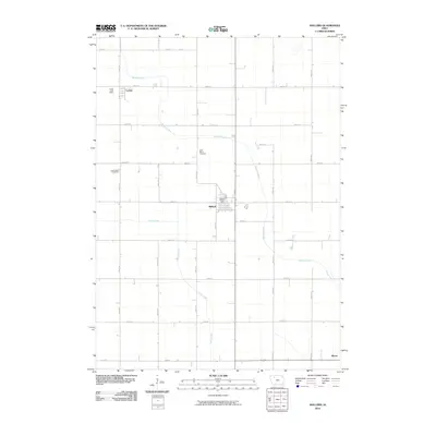
2010 Map of Mallard
USGS Topo · Published 2010About this map
Mallard and its surrounding agricultural grid define the character of this Palo Alto County landscape in the early 21st century. The town center is anchored by the Mallard Post Office, while the smaller settlement of Curlew sits to the northwest, also retaining its own Curlew Post Office at this time. The land is defined by a rigorous network of section-line roads, including 450th St and 450th Ave, which carve the prairie into productive tracts.
Find a feature on this map
29 named features on this map. Tap any name to fly to it.
Don’t see what you’re looking for? This feature index may not catch every label — zoom into the map to look around manually.
Map Details
Editions of this 2010 Mallard Map
This is the sole edition of this map. No revisions or reprints were ever made.
Other maps of this area

1954 · Fairmont
USGS Topo · 1:250,000

1954 · Fort Dodge
USGS Topo · 1:250,000

1957 · Fort Dodge
USGS Topo · 1:250,000

1958 · Fort Dodge
USGS Topo · 1:250,000

1958 · Fairmont
USGS Topo · 1:250,000

1971 · Rush Lake East
USGS Topo · 1:24,000

1971 · Laurens
USGS Topo · 1:24,000

1972 · Ayrshire
USGS Topo · 1:24,000

1980 · Rolfe
USGS Topo · 1:24,000

1980 · Havelock
USGS Topo · 1:24,000