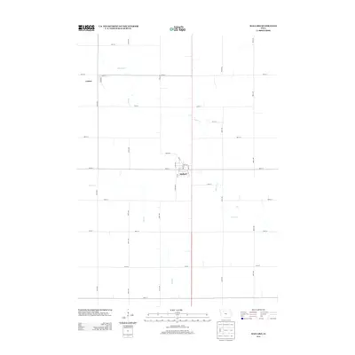
2013 Map of Mallard
USGS Topo · Published 2013About this map
Mallard and Curlew serve as the primary hubs of this agricultural landscape in northwestern Iowa. The terrain is defined by a grid of section-line roads, such as 450th Ave and 500th St, which organize the vast prairie fields. Through this rectilinear network, the natural paths of Beaver Cr and Pilot Cr meander, providing a distinct contrast to the human-imposed geometry of the township. In Mallard, the local street plan includes Miller St and June St, reflecting the compact layout of a traditional prairie town center. This 2013 survey captures the area after decades of consolidated farming practices, showing how modern infrastructure like Country Rd follows the same paths established during the initial settlement of Palo Alto County.
Find a feature on this map
37 named features on this map. Tap any name to fly to it.
Don’t see what you’re looking for? This feature index may not catch every label — zoom into the map to look around manually.
Map Details
Editions of this 2013 Mallard Map
This is the sole edition of this map. No revisions or reprints were ever made.
Other maps of this area

1954 · Fairmont
USGS Topo · 1:250,000

1954 · Fort Dodge
USGS Topo · 1:250,000

1957 · Fort Dodge
USGS Topo · 1:250,000

1958 · Fort Dodge
USGS Topo · 1:250,000

1958 · Fairmont
USGS Topo · 1:250,000

1971 · Rush Lake East
USGS Topo · 1:24,000

1971 · Laurens
USGS Topo · 1:24,000

1972 · Ayrshire
USGS Topo · 1:24,000

1980 · Rolfe
USGS Topo · 1:24,000

1980 · Havelock
USGS Topo · 1:24,000