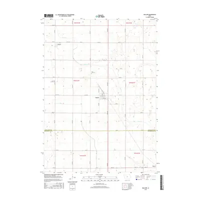
2015 Map of Mallard
USGS Topo · Published 2015About this map
Mallard serves as the central hub of this agricultural landscape, situated along the southern edge of Palo Alto Co Pocahontas Co border. The township's layout is defined by a rigorous grid of section lines and gravel roads, supporting a series of small settlements including Curlew to the northwest and Plover at the southeastern corner. This area of Iowa is characterized by a high concentration of prairie wetlands and depressions, which surround the winding paths of Beaver Cr and Pilot Cr. Local history is anchored by sites such as Saint Marys Cem and Rush Lake Cem, which stand as landmarks for family researchers in Fairfield and Nevada Townships. The intricate drainage patterns shown here reflect the modification of the land for intensive farming, where natural sloughs and creeks are managed alongside local infrastructure like Country Rd and Micawber.
Find a feature on this map
51 named features on this map. Tap any name to fly to it.
Don’t see what you’re looking for? This feature index may not catch every label — zoom into the map to look around manually.
Map Details
Editions of this 2015 Mallard Map
This is the sole edition of this map. No revisions or reprints were ever made.
Other maps of this area

1954 · Fairmont
USGS Topo · 1:250,000

1954 · Fort Dodge
USGS Topo · 1:250,000

1957 · Fort Dodge
USGS Topo · 1:250,000

1958 · Fort Dodge
USGS Topo · 1:250,000

1958 · Fairmont
USGS Topo · 1:250,000

1971 · Rush Lake East
USGS Topo · 1:24,000

1971 · Laurens
USGS Topo · 1:24,000

1972 · Ayrshire
USGS Topo · 1:24,000

1980 · Rolfe
USGS Topo · 1:24,000

1980 · Havelock
USGS Topo · 1:24,000