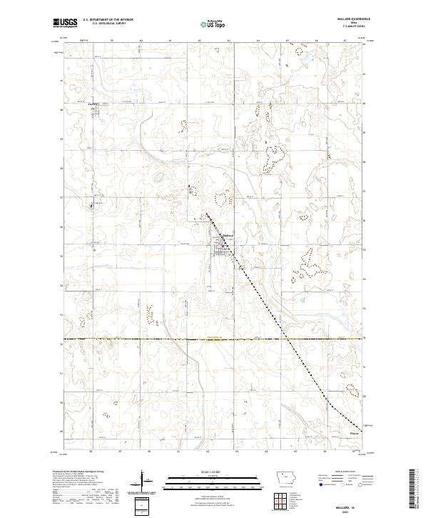
2022 Map of Mallard
USGS Topo · Published 2022About this map
Mallard serves as a central hub on this northern Iowa prairie landscape, positioned along the county line where Palo Alto Co and Pocahontas Co meet. The township grid is well-defined by an extensive network of gravel and paved roads, including Co Hwy B57 and Co Hwy B63, which facilitate travel between the small communities of Curlew to the northwest and Plover at the southeastern corner.
Find a feature on this map
35 named features on this map. Tap any name to fly to it.
Don’t see what you’re looking for? This feature index may not catch every label — zoom into the map to look around manually.
Map Details
Editions of this 2022 Mallard Map
This is the sole edition of this map. No revisions or reprints were ever made.
Other maps of this area

1954 · Fairmont
USGS Topo · 1:250,000

1954 · Fort Dodge
USGS Topo · 1:250,000

1957 · Fort Dodge
USGS Topo · 1:250,000

1958 · Fort Dodge
USGS Topo · 1:250,000

1958 · Fairmont
USGS Topo · 1:250,000

1971 · Rush Lake East
USGS Topo · 1:24,000

1971 · Laurens
USGS Topo · 1:24,000

1972 · Ayrshire
USGS Topo · 1:24,000

1980 · Rolfe
USGS Topo · 1:24,000

1980 · Havelock
USGS Topo · 1:24,000