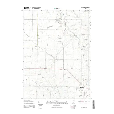
2016 Map of Mallet Creek
USGS Topo · Published 2016About this map
Valley City and the northern reaches of Medina anchor this 2016 survey of north-central Ohio, where the drainage of the West Branch Rocky River defines the local topography. The landscape is a network of rural hamlets and historic crossroads including Abbeyville, Lester, and Erhart, many of which grew around early rail and road intersections. A striking number of small burial grounds, such as Saint Pauls Evangelical Lutheran Cem and the Greenhoe Cem, are preserved across the quadrangle, serving as vital touchstones for family historians and genealogists documenting the area's pioneer roots.
Find a feature on this map
83 named features on this map. Tap any name to fly to it.
Don’t see what you’re looking for? This feature index may not catch every label — zoom into the map to look around manually.
Map Details
Editions of this 2016 Mallet Creek Map
This is the sole edition of this map. No revisions or reprints were ever made.
Other maps of this area

1901 · Oberlin
USGS Topo · 1:62,500

1902 · Berea
USGS Topo · 1:62,500

1903 · Oberlin
USGS Topo · 1:62,500

1904 · Berea
USGS Topo · 1:62,500

1904 · Medina
USGS Topo · 1:62,500

1904 · Wellington
USGS Topo · 1:62,500

1906 · Medina
USGS Topo · 1:62,500

1906 · Wellington
USGS Topo · 1:62,500

1950 · Cleveland
USGS Topo · 1:250,000

1953 · West View
USGS Topo · 1:24,000