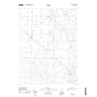
2019 Map of Mallet Creek
USGS Topo · Published 2019About this map
Valley City serves as a primary hub in this northern Medina County landscape, where the West Branch Rocky River meets tributaries like Delwood Run and Cossett Cr. The area is defined by its rural heritage, anchored by numerous historic burial grounds including Saint Pauls Evangelical Lutheran Cem and the Zion Lutheran Cem. These sites, along with smaller settlements like Abbeyville and Lester, reflect a pattern of 19th-century growth that followed the local waterways and early road networks.
Find a feature on this map
107 named features on this map. Tap any name to fly to it.
Don’t see what you’re looking for? This feature index may not catch every label — zoom into the map to look around manually.
Map Details
Editions of this 2019 Mallet Creek Map
This is the sole edition of this map. No revisions or reprints were ever made.
Other maps of this area

1901 · Oberlin
USGS Topo · 1:62,500

1902 · Berea
USGS Topo · 1:62,500

1903 · Oberlin
USGS Topo · 1:62,500

1904 · Berea
USGS Topo · 1:62,500

1904 · Medina
USGS Topo · 1:62,500

1904 · Wellington
USGS Topo · 1:62,500

1906 · Medina
USGS Topo · 1:62,500

1906 · Wellington
USGS Topo · 1:62,500

1950 · Cleveland
USGS Topo · 1:250,000

1953 · West View
USGS Topo · 1:24,000