2023 Map of Mallet Creek
USGS Topo · Published 2023About this map
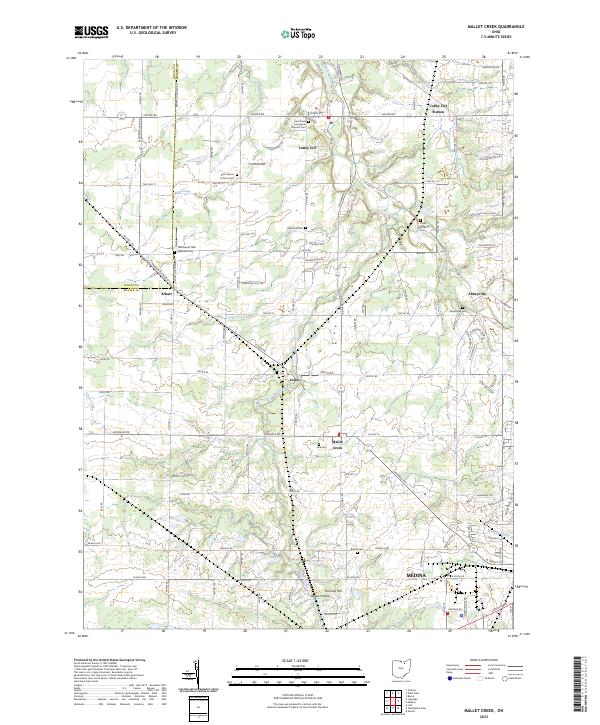
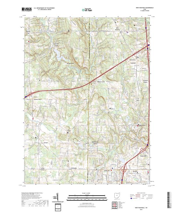
Valley City and the surrounding townships in northern Medina County are defined by the winding course of the West Branch Rocky River and a network of rural settlements. This landscape is a significant resource for genealogists, featuring numerous small burial grounds such as York Cem, Rest Acre Cem, and the Saint Martin of Tours Cem. The transition from rail-era commerce to modern suburban growth is visible in the relationship between Valley City Station and the newer residential developments expanding northward from the city of Medina. Local landmarks like Bronson Hill and Bogus Hollow sit near Rice Pond, while the former transit hubs of Erhart, Lester, and Abbeyville remain as distinctive nodes in the agricultural grid.
Find a feature on this map
114 named features on this map. Tap any name to fly to it.
Don’t see what you’re looking for? This feature index may not catch every label — zoom into the map to look around manually.
Map Details
Editions of this 2023 Mallet Creek Map
This is the sole edition of this map. No revisions or reprints were ever made.
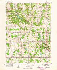
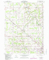
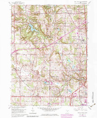
Historical Maps of Mallet Creek Through Time
7 maps found
Featured Locations
- York Township, OH
- Lafayette Township, OH
- Medina, OH
- Brunswick Hills Township, OH
- Valley City Station, Liverpool Township