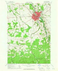
1964 Map of Malone
USGS Topo · Published 1966About this map
Malone serves as the focal point of this mid-1960s topographic survey, showing a well-established municipal center at the intersection of the Central New York railroad and the Salmon River. The town's social infrastructure is deeply mapped, featuring numerous educational and religious institutions such as Franklin Academy, St Josephs Ursuline Academy, and Notre Dame Sch. The surrounding landscape of Franklin and B A N G O R counties is a mix of agricultural plots and managed timberlands, most notably the Franklin State Forest No 1 in the southern sector. Beyond the urban core, the map tracks the rural character of northern New York through a network of family-named roads like Wescott Road and Creighton Road, alongside smaller settlements like Whippleville and the critical aviation link at Malone-Dufort Airport.
Find a feature on this map
60 named features on this map. Tap any name to fly to it.
Don’t see what you’re looking for? This feature index may not catch every label — zoom into the map to look around manually.
Map Details
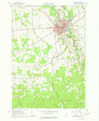
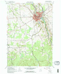
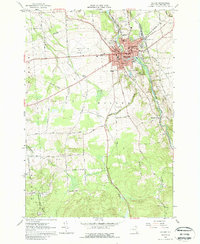
Editions of this 1964 Malone Map
4 editions found
Other maps of this area

1906 · Loon Lake
USGS Topo · 1:62,500

1908 · Loon Lake
USGS Topo · 1:62,500

1915 · Chateaugay
USGS Topo · 1:62,500

1915 · Malone
USGS Topo · 1:62,500

1917 · Malone
USGS Topo · 1:62,500

1921 · Santa Clara
USGS Topo · 1:62,500

1923 · Santa Clara
USGS Topo · 1:62,500

1943 · Chateaugay
USGS Topo · 1:62,500

1948 · Ogdensburg
USGS Topo · 1:250,000

1951 · Ogdensburg
USGS Topo · 1:250,000