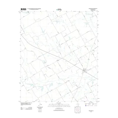
2013 Map of Malone
USGS Topo · Published 2013About this map
Malone serves as the primary hub of this eastern Hill County landscape, where the intersection of several farm-to-market roads and local streets like S Walnut and N Pecan defines the town center. The surrounding countryside is heavily managed through water conservation efforts, as evidenced by numerous Soil Conservation Service reservoirs such as Site 83 Reservoir and Site 58 Reservoir. These reservoirs are integrated into a complex drainage network featuring Bynum Creek, Ash Creek, and Pecan Creek, illustrating the intersection of agricultural land management and local hydrology.
Find a feature on this map
75 named features on this map. Tap any name to fly to it.
Don’t see what you’re looking for? This feature index may not catch every label — zoom into the map to look around manually.
Map Details
Editions of this 2013 Malone Map
This is the sole edition of this map. No revisions or reprints were ever made.
Other maps of this area

1891 · Cleburne
USGS Topo · 1:125,000

1892 · Waco
USGS Topo · 1:125,000

1894 · Cleburne
USGS Topo · 1:125,000

1920 · Waco
USGS Topo · 1:125,000

1954 · Dallas
USGS Topo · 1:250,000

1954 · Waco
USGS Topo · 1:250,000

1955 · Waco
USGS Topo · 1:250,000

1956 · Hubbard
USGS Topo · 1:24,000

1956 · Penelope
USGS Topo · 1:24,000

1956 · Abbott
USGS Topo · 1:24,000