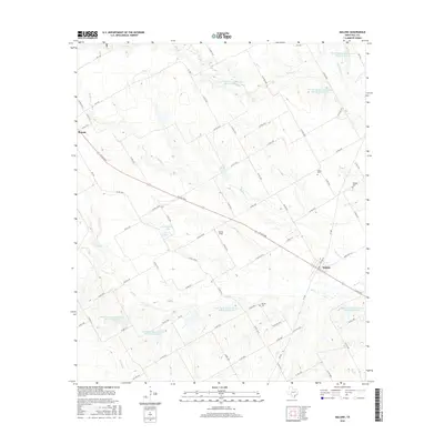
2016 Map of Malone
USGS Topo · Published 2016About this map
The town of Malone and the surrounding Hill County countryside are defined by a network of seasonal waterways and modern water management. Small cemeteries like Salem Cem, Watting Cem, and Burross Cem are scattered across the landscape, providing essential touchstones for genealogical research in this part of Texas. The terrain is crisscrossed by numerous farm-to-market roads and local routes, such as W Live Oak, which connects the primary settlements.
Find a feature on this map
74 named features on this map. Tap any name to fly to it.
Don’t see what you’re looking for? This feature index may not catch every label — zoom into the map to look around manually.
Map Details
Editions of this 2016 Malone Map
This is the sole edition of this map. No revisions or reprints were ever made.
Other maps of this area

1891 · Cleburne
USGS Topo · 1:125,000

1892 · Waco
USGS Topo · 1:125,000

1894 · Cleburne
USGS Topo · 1:125,000

1920 · Waco
USGS Topo · 1:125,000

1954 · Dallas
USGS Topo · 1:250,000

1954 · Waco
USGS Topo · 1:250,000

1955 · Waco
USGS Topo · 1:250,000

1956 · Hubbard
USGS Topo · 1:24,000

1956 · Penelope
USGS Topo · 1:24,000

1956 · Abbott
USGS Topo · 1:24,000