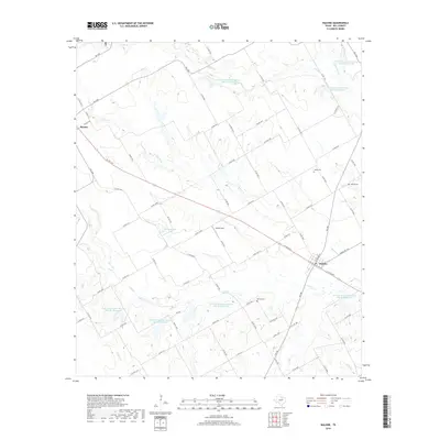
2019 Map of Malone
USGS Topo · Published 2019About this map
The town of Malone and the community of Bynum anchor this Hill County landscape, where agriculture and water management define the rural character. The terrain is intricately drained by numerous waterways including Ash Cr, Bynum Cr, and Pecan Cr, which are supported by an extensive network of Soil Conservation Service reservoirs such as Site 83 Reservoir and Site 65 Reservoir. These man-made features highlight the region's commitment to land management and flood control.
Find a feature on this map
77 named features on this map. Tap any name to fly to it.
Don’t see what you’re looking for? This feature index may not catch every label — zoom into the map to look around manually.
Map Details
Editions of this 2019 Malone Map
This is the sole edition of this map. No revisions or reprints were ever made.
Other maps of this area

1891 · Cleburne
USGS Topo · 1:125,000

1892 · Waco
USGS Topo · 1:125,000

1894 · Cleburne
USGS Topo · 1:125,000

1920 · Waco
USGS Topo · 1:125,000

1954 · Dallas
USGS Topo · 1:250,000

1954 · Waco
USGS Topo · 1:250,000

1955 · Waco
USGS Topo · 1:250,000

1956 · Hubbard
USGS Topo · 1:24,000

1956 · Penelope
USGS Topo · 1:24,000

1956 · Abbott
USGS Topo · 1:24,000