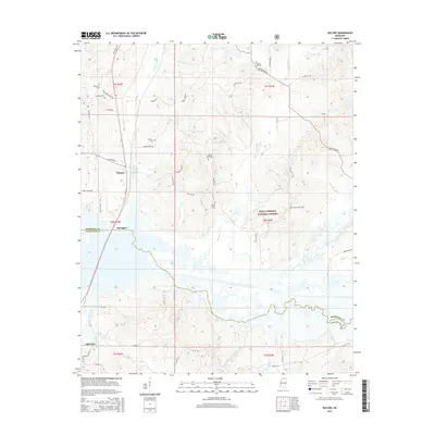
2015 Map of Malone
USGS Topo · Published 2015About this map
Abbeville sits at the southern edge of this landscape, where the town grid meets the rural reaches of the Holly Springs National Forest. The geography is defined by the winding course of the Tippah River and its tributaries, including Little Spring Cr and Big Spring Cr, which carve through the terrain as they flow toward the Marshall and Lafayette county line. This map documents a quiet, sparsely populated region where life revolves around small settlements like Malone and Spraggins and a network of gravel and paved roads including Old Oxford Rd and Bethlehem Rd. Local history is preserved in numerous family and community burial grounds, such as Ebenezer Cem, Hamilton Cem, and Asberry Cem, often located near crossroads or church sites. The drainage patterns of Graham Mill Creek and Lee Cr further illustrate the water-rich environment of north-central Mississippi.
Find a feature on this map
45 named features on this map. Tap any name to fly to it.
Don’t see what you’re looking for? This feature index may not catch every label — zoom into the map to look around manually.
Map Details
Editions of this 2015 Malone Map
This is the sole edition of this map. No revisions or reprints were ever made.
Other maps of this area

1940 · Oxford
USGS Topo · 1:62,500

1942 · Denmark
USGS Topo · 1:62,500

1943 · Denmark
USGS Topo · 1:62,500

1943 · Oxford
USGS Topo · 1:62,500

1944 · Tyro
USGS Topo · 1:62,500

1944 · Potts Camp
USGS Topo · 1:62,500

1945 · Potts Camp
USGS Topo · 1:62,500

1956 · Tupelo
USGS Topo · 1:250,000

1958 · Tupelo
USGS Topo · 1:250,000

1964 · Waterford
USGS Topo · 1:24,000