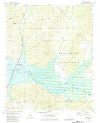
1982 Map of Malone
USGS Topo · Published 1983About this map
The Little Sardis Lake basin and the Tallahatchie River floodplains define this 1980s landscape at the boundary of Marshall and Lafayette counties. The terrain is a network of watercourses including Spring Creek, Big Spring Creek, and the Tippah River, flowing through the protected lands of the Holly Springs National Forest. Settlement is concentrated in small communities such as Malone, Spraggins, and Abbeville, with numerous rural landmarks serving as focal points for local history research.
Find a feature on this map
32 named features on this map. Tap any name to fly to it.
Don’t see what you’re looking for? This feature index may not catch every label — zoom into the map to look around manually.
Map Details
Editions of this 1982 Malone Map
This is the sole edition of this map. No revisions or reprints were ever made.
Other maps of this area

1940 · Oxford
USGS Topo · 1:62,500

1942 · Denmark
USGS Topo · 1:62,500

1943 · Denmark
USGS Topo · 1:62,500

1943 · Oxford
USGS Topo · 1:62,500

1944 · Tyro
USGS Topo · 1:62,500

1944 · Potts Camp
USGS Topo · 1:62,500

1945 · Potts Camp
USGS Topo · 1:62,500

1956 · Tupelo
USGS Topo · 1:250,000

1958 · Tupelo
USGS Topo · 1:250,000

1964 · Waterford
USGS Topo · 1:24,000