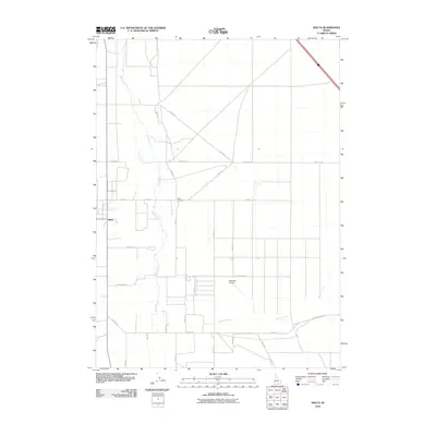
2010 Map of Malta
USGS Topo · Published 2010About this map
The settlement of Malta serves as the focal point for this Idaho landscape, where the confluence of Cassia Creek and the Raft River shapes the local geography. This 2010 topographic record captures the agricultural grid of Cassia County, defined by a network of rural lanes including Sublett Rd and Pierce Rd. The map provides essential detail for local historians and genealogists, specifically the location of the Malta Cemetery north of the main township and the Interstate Airport situated further south near Meadow Creek. The terrain is marked by its systematic road nomenclature, such as Clover Ln and Jane Ln, which follow the section lines across the valley floor. To the east, the drainage of Meadow Creek and its namesake Meadow Creek Rd illustrate the hydraulic patterns essential to the region's ranching and farming operations at the beginning of the 21st century.
Find a feature on this map
27 named features on this map. Tap any name to fly to it.
Don’t see what you’re looking for? This feature index may not catch every label — zoom into the map to look around manually.
Map Details
Editions of this 2010 Malta Map
This is the sole edition of this map. No revisions or reprints were ever made.
Other maps of this area

1954 · Pocatello
USGS Topo · 1:250,000

1958 · Pocatello
USGS Topo · 1:250,000

1958 · Sublett
USGS Topo · 1:62,500

1959 · Strevell
USGS Topo · 1:62,500

1968 · Malta NE
USGS Topo · 1:24,000

1968 · Malta
USGS Topo · 1:24,000

1968 · Idahome
USGS Topo · 1:24,000

1968 · Kane Canyon
USGS Topo · 1:24,000

1968 · Nibbs Creek
USGS Topo · 1:24,000

1968 · Bridge
USGS Topo · 1:24,000