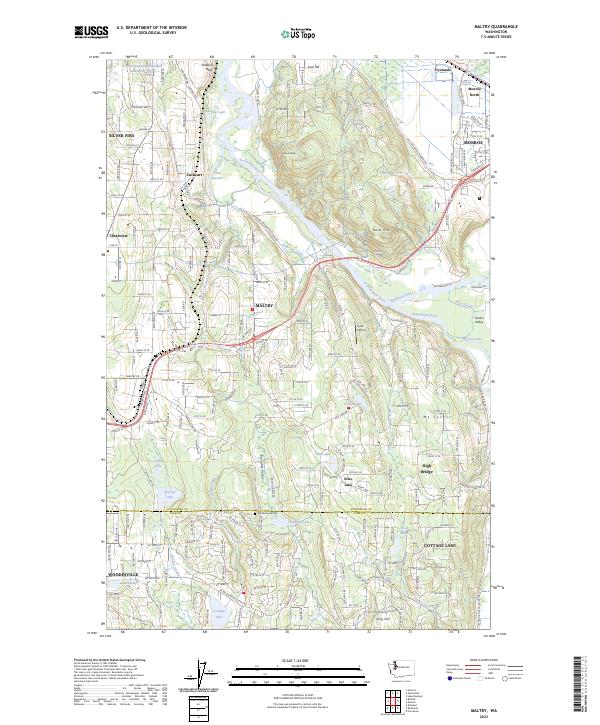
2023 Map of Maltby
USGS Topo · Published 2023About this map
The Snohomish River system converges here, where the Skykomish River and Snoqualmie River meet near Monroe. This 2023 edition documents a landscape defined by its glacial hydrology and modern suburban expansion along the Snohomish and King County line. The rail corridor of the Burlington Northern Santa Fe RR serves as a spine for several communities, including Maltby, Cathcart, and Clearview.
Find a feature on this map
127 named features on this map. Tap any name to fly to it.
Don’t see what you’re looking for? This feature index may not catch every label — zoom into the map to look around manually.
Map Details
Editions of this 2023 Maltby Map
This is the sole edition of this map. No revisions or reprints were ever made.
Other maps of this area

1895 · Snohomish
USGS Topo · 1:125,000

1897 · Seattle
USGS Topo · 1:125,000

1921 · Sultan
USGS Topo · 1:125,000

1923 · Sultan
USGS Topo · 1:125,000

1944 · Everett
USGS Topo · 1:62,500

1950 · Redmond
USGS Topo · 1:24,000

1950 · Kirkland
USGS Topo · 1:24,000

1953 · Monroe
USGS Topo · 1:24,000
1953 · Bothell
USGS Topo · 1:24,000
1953 · Maltby
USGS Topo · 1:24,000