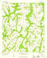
1957 Map of Malvern
USGS Topo · Published 1959About this map
Malvern and its surrounding countryside in the late 1950s are defined by a network of rural schoolhouses and country churches that anchored the Wiregrass region before widespread consolidation. The landscape is deeply carved by watercourses like Panther Creek and Hatband Creek, which flow south across the Houston Co Geneva Co line. Small communities such as Wicksburg and Bailey Crossroads appear as clusters of homes at key intersections, while the map preserves the locations of numerous house of worship, including Sawdust Ch, Pilgrims Rest Ch, and Bethlehem Ch. The layout of dirt roads and section lines reveals a landscape primarily dedicated to agriculture, with several family-named burial grounds like Purvis Cem and Oak Grove Cem providing vital points of reference for genealogists studying the families of southeastern Alabama.
Find a feature on this map
31 named features on this map. Tap any name to fly to it.
Don’t see what you’re looking for? This feature index may not catch every label — zoom into the map to look around manually.
Map Details
Editions of this 1957 Malvern Map
3 editions found
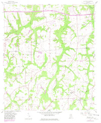
Other maps of this area

1942 · Enterprise
USGS Topo · 1:125,000

1948 · Ozark
USGS Topo · 1:62,500

1950 · Ozark
USGS Topo · 1:62,500

1953 · Dothan
USGS Topo · 1:250,000

1954 · Dothan
USGS Topo · 1:250,000

1955 · Dothan
USGS Topo · 1:250,000

1957 · Malvern
USGS Topo · 1:24,000

1957 · Hartford
USGS Topo · 1:62,500
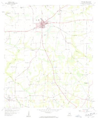
1957 · Hartford
USGS Topo · 1:24,000
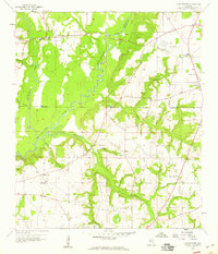
1957 · Clayhatchee
USGS Topo · 1:24,000