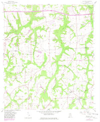
1957 Map of Malvern
USGS Topo · Published 1981About this map
Malvern sits at the intersection of local routes in the southeastern corner of this Wiregrass region landscape, serving as a focal point for a network of rural communities straddling the Houston Co Geneva Co line. The map reveals a high density of community centers, many rooted in traditional congregations such as Pilgrims Rest Ch, Sawdust Ch, and Bethlehem Ch. This settlement pattern reflects a mid-century social landscape where schools and churches like Malvern Sch and St Peter Ch were the primary anchors for dispersed homesteads.
Find a feature on this map
38 named features on this map. Tap any name to fly to it.
Don’t see what you’re looking for? This feature index may not catch every label — zoom into the map to look around manually.
Map Details
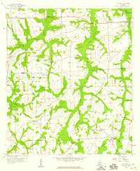
Editions of this 1957 Malvern Map
3 editions found
Other maps of this area

1942 · Enterprise
USGS Topo · 1:125,000

1948 · Ozark
USGS Topo · 1:62,500

1950 · Ozark
USGS Topo · 1:62,500

1953 · Dothan
USGS Topo · 1:250,000

1954 · Dothan
USGS Topo · 1:250,000

1955 · Dothan
USGS Topo · 1:250,000

1957 · Malvern
USGS Topo · 1:24,000

1957 · Hartford
USGS Topo · 1:62,500
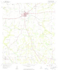
1957 · Hartford
USGS Topo · 1:24,000
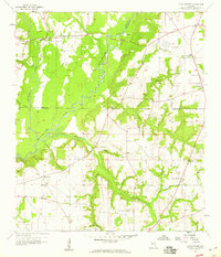
1957 · Clayhatchee
USGS Topo · 1:24,000