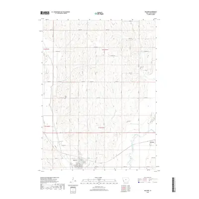
2018 Map of Malvern
USGS Topo · Published 2018About this map
Malvern and Hastings anchor the agricultural landscape of Mills County in this 2018 survey. The terrain is defined by the drainage of the West Nishnabotna River, which flows through the southeastern portion of the quadrangle. Several smaller tributaries, including Silver Creek, Osborne Cr, and Little Cr, carve through the rolling hills, shaping the local road grid.
Find a feature on this map
37 named features on this map. Tap any name to fly to it.
Don’t see what you’re looking for? This feature index may not catch every label — zoom into the map to look around manually.
Map Details
Editions of this 2018 Malvern Map
This is the sole edition of this map. No revisions or reprints were ever made.
Other maps of this area

1954 · Omaha
USGS Topo · 1:250,000

1955 · Nebraska City
USGS Topo · 1:250,000

1956 · Glenwood
USGS Topo · 1:24,000

1956 · Mineola
USGS Topo · 1:24,000

1956 · Treynor
USGS Topo · 1:24,000

1956 · Malvern
USGS Topo · 1:24,000

1957 · Nebraska City
USGS Topo · 1:250,000

1957 · Omaha
USGS Topo · 1:250,000

1957 · Tabor
USGS Topo · 1:24,000

1957 · Tabor NE
USGS Topo · 1:24,000