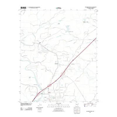
2011 Map of Malvern North
USGS Topo · Published 2011About this map
The Ouachita River winds through the southern landscape of this Hot Spring County region, serving as a historic corridor for the city of Malvern. Near the river's bend, the Old Rockport Bridge stands as a significant landmark in Rockport, a community anchored by the Rockport Cemetery. This area reflects a deep connection to the land through its diverse industrial and residential patterns, from the mineral-rich environs of Magnet Cove to the working landscape of the Diamond Jo Quarry.
Find a feature on this map
107 named features on this map. Tap any name to fly to it.
Don’t see what you’re looking for? This feature index may not catch every label — zoom into the map to look around manually.
Map Details
Editions of this 2011 Malvern North Map
This is the sole edition of this map. No revisions or reprints were ever made.
Other maps of this area

1890 · Benton
USGS Topo · 1:125,000

1894 · Benton
USGS Topo · 1:125,000

1938 · Benton
USGS Topo · 1:48,000

1944 · Benton
USGS Topo · 1:62,500

1948 · Malvern
USGS Topo · 1:62,500

1949 · Malvern
USGS Topo · 1:62,500

1955 · Little Rock
USGS Topo · 1:250,000

1956 · Little Rock
USGS Topo · 1:250,000

1960 · Little Rock
USGS Topo · 1:250,000

1963 · Traskwood
USGS Topo · 1:24,000