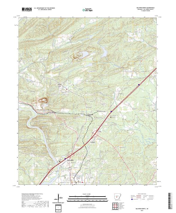
2024 Map of Malvern North
USGS Topo · Published 2024About this map
The Ouachita River winds through the southern reaches of this landscape, defining the character of Malvern and its surrounding communities. Near the river's edge, the town of Rockport sits adjacent to the historic Rockport Cem, while the industrial and educational presence of Arkansas State University-Three Rivers marks the modern development of the area. Further north, the terrain transitions into the distinct geological and cultural pocket of Magnet Cove, a site long noted for its unique mineralogy.
Find a feature on this map
123 named features on this map. Tap any name to fly to it.
Don’t see what you’re looking for? This feature index may not catch every label — zoom into the map to look around manually.
Map Details
Editions of this 2024 Malvern North Map
This is the sole edition of this map. No revisions or reprints were ever made.
Other maps of this area

1890 · Benton
USGS Topo · 1:125,000

1894 · Benton
USGS Topo · 1:125,000

1938 · Benton
USGS Topo · 1:48,000

1944 · Benton
USGS Topo · 1:62,500

1948 · Malvern
USGS Topo · 1:62,500

1949 · Malvern
USGS Topo · 1:62,500

1955 · Little Rock
USGS Topo · 1:250,000

1956 · Little Rock
USGS Topo · 1:250,000

1960 · Little Rock
USGS Topo · 1:250,000

1963 · Traskwood
USGS Topo · 1:24,000