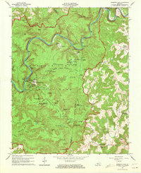
1965 Map of Mammoth Cave
USGS Topo · Published 1973About this map
Mammoth Cave National Park is meticulously documented in this mid-century survey, revealing a landscape of subterranean complexity and karst topography. The map detail highlights many historic access points to the cave system, including the Mammoth Cave (Historic Entrance), Frozen Niagara Entrance, and the New Discovery Entrance. The surface is dotted with family-named landmarks and cemeteries such as Wilkins Cem and Adwell Cem, alongside small rural congregations at Freedom Ch and Mammoth Cave Ch. The Green River meanders through the terrain, with features like Dennison Ferry and Floating Mill Island marking its banks. This 1965 revision captures the area at a time when the Great Onyx Job Corps Conservation Center was active, showing the infrastructure of the park before modern developments altered the surrounding rural crossroads of Northtown and Union City.
Find a feature on this map
111 named features on this map. Tap any name to fly to it.
Don’t see what you’re looking for? This feature index may not catch every label — zoom into the map to look around manually.
Map Details
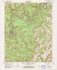
Editions of this 1965 Mammoth Cave Map
2 editions found
Other maps of this area

1922 · Mammoth Cave
USGS Topo · 1:62,500

1923 · Mammoth Cave
USGS Topo · 1:62,500

1925 · Cub Run
USGS Topo · 1:62,500

1934 · Munfordville
USGS Topo · 1:48,000

1935 · Horse Cave
USGS Topo · 1:48,000

1937 · Munfordville
USGS Topo · 1:62,500

1938 · Horse Cave
USGS Topo · 1:62,500

1953 · Munfordville
USGS Topo · 1:24,000

1954 · Evansville
USGS Topo · 1:250,000

1954 · Horse Cave
USGS Topo · 1:24,000