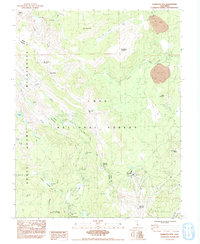
1984 Map of Mammoth Mtn.
USGS Topo · Published 1992About this map
The Devils Postpile National Monument and the Ansel Adams Wilderness dominate this high-altitude landscape in the Sierra Nevada, showcasing a transition between protected geological wonders and managed recreation areas. The map reveals a robust seasonal infrastructure within the Inyo National Forest, from the Mammoth Mtn Main Lodge to a string of camps like Agnew Meadows Campground and Minaret Falls Campground. Tracing the Middle Fork San Joaquin River, one finds the iconic basalt columns of the Devils Postpile alongside natural features like Minaret Falls and Soda Springs. High peaks including June Mountain, San Joaquin Mountain, and White Wing Mountain frame the drainage basins of Deadman Creek and Glass Creek, while the Pacific Crest National Scenic Trail traverses the western ridges.
Find a feature on this map
54 named features on this map. Tap any name to fly to it.
Don’t see what you’re looking for? This feature index may not catch every label — zoom into the map to look around manually.
Map Details
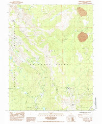
Editions of this 1984 Mammoth Mtn. Map
2 editions found
Other maps of this area

1901 · Mt. Lyell
USGS Topo · 1:125,000

1914 · Mt. Morrison
USGS Topo · 1:125,000

1947 · Mariposa
USGS Topo · 1:250,000

1948 · Mariposa
USGS Topo · 1:250,000

1953 · Mt. Morrison
USGS Topo · 1:62,500

1953 · Mono Craters
USGS Topo · 1:62,500

1953 · Devils Postpile
USGS Topo · 1:62,500

1957 · Mariposa
USGS Topo · 1:250,000

1962 · Cowtrack Mtn
USGS Topo · 1:62,500

1963 · Mariposa
USGS Topo · 1:250,000