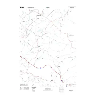
2013 Map of Mammoth
USGS Topo · Published 2013About this map
Chestnut Ridge anchors the eastern edge of this Westmoreland County landscape, where the foothills meet a network of small settlements and coal-patch legacies. The map reveals a dense cluster of communities in the northwest, including Pleasant Unity, Trauger, and Humphreys, all connected by a web of winding roads like Pa-981 and Pa-982. These small towns, along with Calumet and United, reflect the industrial and residential patterns of the region's historical development.
Find a feature on this map
39 named features on this map. Tap any name to fly to it.
Don’t see what you’re looking for? This feature index may not catch every label — zoom into the map to look around manually.
Map Details
Editions of this 2013 Mammoth Map
This is the sole edition of this map. No revisions or reprints were ever made.
Other maps of this area

1900 · Latrobe
USGS Topo · 1:62,500

1902 · Latrobe
USGS Topo · 1:62,500

1902 · Connellsville
USGS Topo · 1:62,500

1903 · Latrobe
USGS Topo · 1:62,500

1904 · Greensburg
USGS Topo · 1:62,500

1906 · Greensburg
USGS Topo · 1:62,500

1922 · Donegal
USGS Topo · 1:62,500

1931 · Connellsville
USGS Topo · 1:62,500

1935 · Donegal
USGS Topo · 1:62,500

1936 · Connellsville
USGS Topo · 1:62,500
Featured Places
- Donegal Township, PA
- Mount Pleasant Township, PA
- Pleasant Unity, Unity Township
- Acme, Mount Pleasant Township
- Alice, Mount Pleasant Township