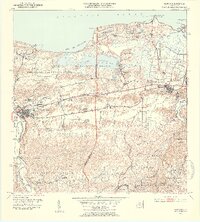
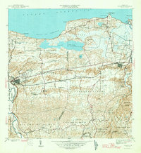
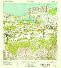
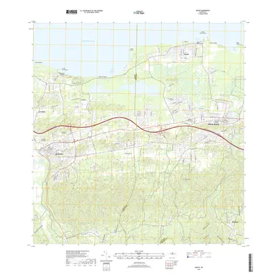
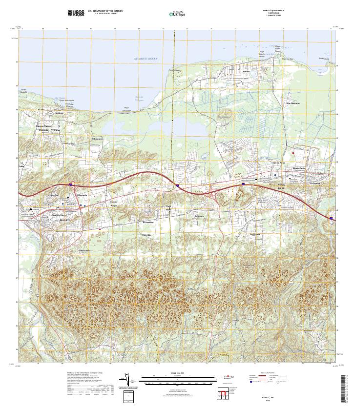
1953 Map of Manati
USGS Topo · Published 1954About this map
The coastal plains of northern Puerto Rico are defined here by a series of agricultural colonies and the prominent Laguna Tortuguero wetland system. In the mid-twentieth century, this landscape was a mosaic of sugar cane production and growing settlements centered around Manatí and the American Railroad corridor. The map details numerous named agricultural outposts such as Colonia Felix Cordova Dávila and Colonia Coto Norte, illustrating the rural economic structure of the era. Military and transport infrastructure is also significant, with the presence of Camp Tortuguero and the Vega Baja Airstrip near the coast. Along the Atlantic shore, features like Pta Chivato and Puerto Nuevo provide a clear view of the natural coastline before modern development, while inland, family and community landmarks such as Capilla de la Virgen del Carmen and the Escuela Alejandrina Benítez anchor the local neighborhoods.
Find a feature on this map
86 named features on this map. Tap any name to fly to it.
Don’t see what you’re looking for? This feature index may not catch every label — zoom into the map to look around manually.
Map Details
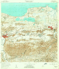
Editions of this 1953 Manati Map
2 editions found
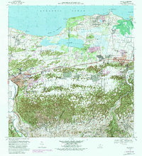
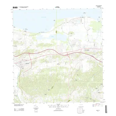
Historical Maps of Vega Baja Through Time
10 maps found

1942 Manati
Manatí Municipio, PR
1946 Manati
Manatí Municipio, PR
1947 Barceloneta SE
Manatí Municipio, PR
1950 Barceloneta NE
Manatí Municipio, PR
1953 Manati
Manatí Municipio, PR
1958 Manati
Manatí Municipio, PR
1969 Manati
Manatí Municipio, PR
2013 Manati
Manatí Municipio, PR
2018 Manati
Manatí Municipio, PR
2024 Manati
Manatí Municipio, PR
Featured Locations
- Sector El Criollo, Vega Baja
- Sector Los Arenas, Vega Baja
- Vega Baja, Vega Baja
- Manatí, Manatí
- Reparto Giovani, Manatí