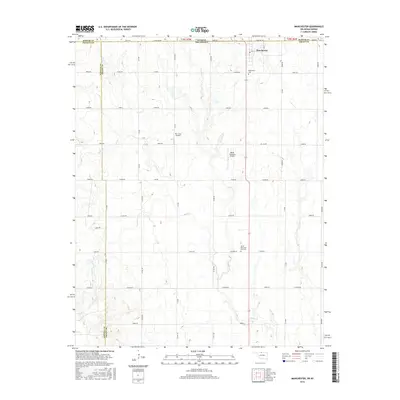
2016 Map of Manchester
USGS Topo · Published 2016About this map
Manchester sits at the northern edge of Grant County, where the Oklahoma-Kansas state line divides the plains. This landscape is defined by a rigorous grid of section roads, including Stateline Rd and Main St, which facilitate a sprawling agricultural economy. Waterways like Cooper Cr and Sand Cr meander through the terrain, providing natural relief to the geometric precision of the township layout. The area’s aviation history and local transit are represented by small-scale facilities such as Mc Crays Airport and Miller Brothers Airport. For those researching local heritage, the map identifies key burial sites including the Manchester Cem just south of the town center and the Saints Peter and Paul Cem further south, offering vital points of reference for genealogical study along the county boundary.
Find a feature on this map
43 named features on this map. Tap any name to fly to it.
Don’t see what you’re looking for? This feature index may not catch every label — zoom into the map to look around manually.
Map Details
Editions of this 2016 Manchester Map
This is the sole edition of this map. No revisions or reprints were ever made.
Other maps of this area

1889 · Anthony
USGS Topo · 1:125,000

1889 · Caldwell
USGS Topo · 1:125,000

1891 · Anthony
USGS Topo · 1:125,000

1893 · Caldwell
USGS Topo · 1:125,000

1897 · Caldwell
USGS Topo · 1:125,000

1955 · Wichita
USGS Topo · 1:250,000

1955 · Enid
USGS Topo · 1:250,000

1955 · Woodward
USGS Topo · 1:250,000

1955 · Pratt
USGS Topo · 1:250,000

1958 · Enid
USGS Topo · 1:250,000