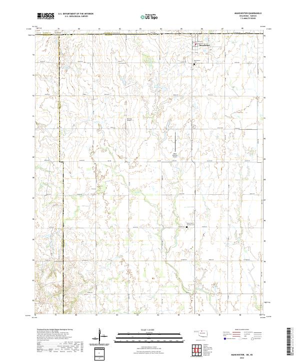
2022 Map of Manchester
USGS Topo · Published 2022About this map
Manchester sits at the very northern edge of Oklahoma, anchored by its proximity to the Kansas Oklahoma state line. This 2022 survey illustrates the grid-oriented agricultural landscape of north-central Grant County, where local life revolves around the intersection of Main St and 1st St. The town is served by the nearby Manchester Cem, while further south, the Saints Peter and Paul Cem stands as a focal point for the surrounding rural community. The landscape is defined by the drainages of Cooper Creek and Sand Creek, which feed into the 053001 Reservoir. Private aviation plays a role in this plains region, evidenced by the presence of McCrays Airport and Miller Brothers Airport. The road network follows the Public Land Survey System, with thoroughfares like Major Rd and Osage Rd connecting isolated farmsteads across the township.
Find a feature on this map
53 named features on this map. Tap any name to fly to it.
Don’t see what you’re looking for? This feature index may not catch every label — zoom into the map to look around manually.
Map Details
Editions of this 2022 Manchester Map
This is the sole edition of this map. No revisions or reprints were ever made.
Other maps of this area

1889 · Anthony
USGS Topo · 1:125,000

1889 · Caldwell
USGS Topo · 1:125,000

1891 · Anthony
USGS Topo · 1:125,000

1893 · Caldwell
USGS Topo · 1:125,000

1897 · Caldwell
USGS Topo · 1:125,000

1955 · Wichita
USGS Topo · 1:250,000

1955 · Enid
USGS Topo · 1:250,000

1955 · Woodward
USGS Topo · 1:250,000

1955 · Pratt
USGS Topo · 1:250,000

1958 · Enid
USGS Topo · 1:250,000