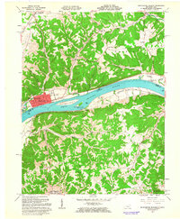
1961 Map of Manchester Islands
USGS Topo · Published 1963About this map
The Ohio River serves as the central artery for this border region in the early 1960s, separating Adams County, Ohio, from Lewis County, Kentucky. On the northern bank, the grid of Manchester dominates the shoreline, accompanied by the river traffic navigation points of Manchester Island No. 1 and Manchester Island No. 2. The industrial and transit character of the riverfront is reinforced by the Chesapeake and Ohio railroad line running parallel to the water through Wrightsville and past Trinity Sta.
Find a feature on this map
48 named features on this map. Tap any name to fly to it.
Don’t see what you’re looking for? This feature index may not catch every label — zoom into the map to look around manually.
Map Details
Editions of this 1961 Manchester Islands Map
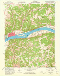
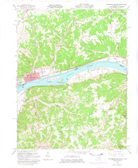
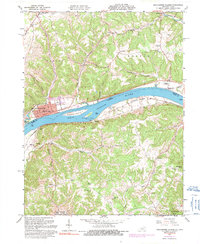
4 editions found
Other maps of this area

1916 · Peebles
USGS Topo · 1:62,500

1918 · Peebles
USGS Topo · 1:62,500

1918 · Seaman
USGS Topo · 1:62,500

1919 · Vanceburg
USGS Topo · 1:62,500

1929 · Springdale
USGS Topo · 1:48,000

1935 · Springdale
USGS Topo · 1:62,500

1949 · Vanceburg
USGS Topo · 1:62,500

1949 · Concord
USGS Topo · 1:24,000

1949 · Charters
USGS Topo · 1:24,000

1950 · Charters
USGS Topo · 1:24,000