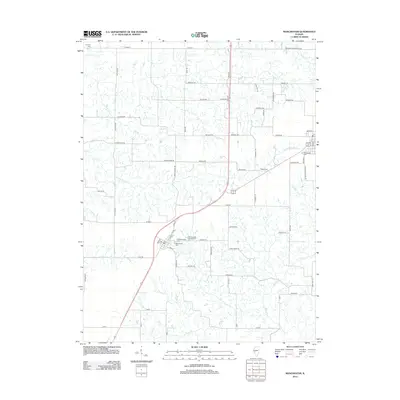
2012 Map of Manchester
USGS Topo · Published 2012About this map
Manchester serves as the primary community on this central Illinois landscape, surrounded by an intricate network of rural roads and watercourses. The area is defined by the headwaters and branches of numerous creeks, including Little Sandy Cr, Coal Cr, and Marks Cr, which carve through the farmland. For those researching local heritage, the map identifies several burial sites such as the Old Manchester Cem and Manchester Cem near the town center, along with the outlying Canatsey Cem and Bethel Cem. Cultural and recreational markers like the Harmony Hills Campground and roads named for local landmarks, such as Harts School Rd, offer a look at the community's established layout in the early 21st century.
Find a feature on this map
70 named features on this map. Tap any name to fly to it.
Don’t see what you’re looking for? This feature index may not catch every label — zoom into the map to look around manually.
Map Details
Editions of this 2012 Manchester Map
This is the sole edition of this map. No revisions or reprints were ever made.
Other maps of this area

1924 · Winchester
USGS Topo · 1:48,000

1924 · Roodhouse
USGS Topo · 1:62,500

1926 · Winchester
USGS Topo · 1:62,500

1926 · Roodhouse
USGS Topo · 1:62,500

1932 · Greenfield
USGS Topo · 1:62,500

1932 · Jacksonville
USGS Topo · 1:62,500

1937 · Jacksonville
USGS Topo · 1:62,500

1948 · Quincy
USGS Topo · 1:250,000

1956 · Quincy
USGS Topo · 1:250,000
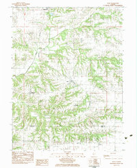
1983 · Alsey
USGS Topo · 1:24,000