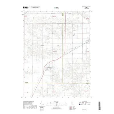
2018 Map of Manchester
USGS Topo · Published 2018About this map
Manchester and Murrayville anchor this portion of the Illinois landscape where the borders of Scott, Morgan, and Greene Counties converge. The topography is defined by the drainage systems of N Little Sandy Cr and Little Sandy Cr, which carve through the agricultural uplands. For those researching local heritage, the map identifies several significant burial sites, including Old Manchester Cem, the Manchester Cem, and Murrayville Cem, alongside the more isolated Bethel Cem and Canatsey Cem. The road network is a mix of established routes like Woodson Winchester Rd and local connectors such as Sellars Rd and Birdsell Rd. This survey reflects the enduring rural character of the region, where small-town centers remain tied to the surrounding creek bottoms of Henry Cr and Marks Cr.
Find a feature on this map
46 named features on this map. Tap any name to fly to it.
Don’t see what you’re looking for? This feature index may not catch every label — zoom into the map to look around manually.
Map Details
Editions of this 2018 Manchester Map
This is the sole edition of this map. No revisions or reprints were ever made.
Other maps of this area

1924 · Winchester
USGS Topo · 1:48,000

1924 · Roodhouse
USGS Topo · 1:62,500

1926 · Winchester
USGS Topo · 1:62,500

1926 · Roodhouse
USGS Topo · 1:62,500

1932 · Greenfield
USGS Topo · 1:62,500

1932 · Jacksonville
USGS Topo · 1:62,500

1937 · Jacksonville
USGS Topo · 1:62,500

1948 · Quincy
USGS Topo · 1:250,000

1956 · Quincy
USGS Topo · 1:250,000
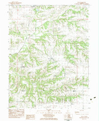
1983 · Alsey
USGS Topo · 1:24,000