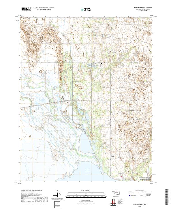
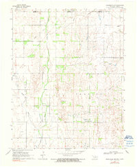
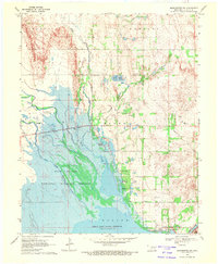
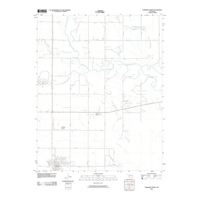
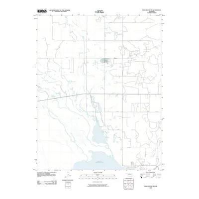
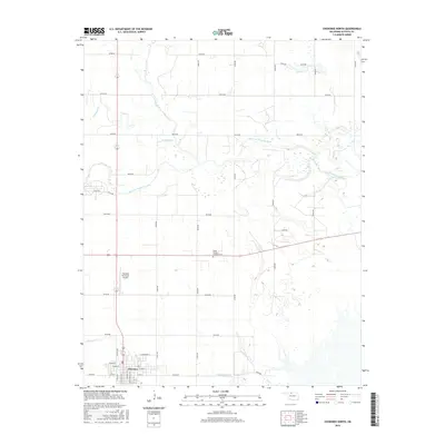
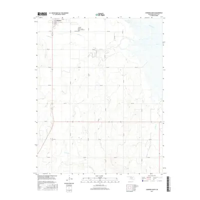
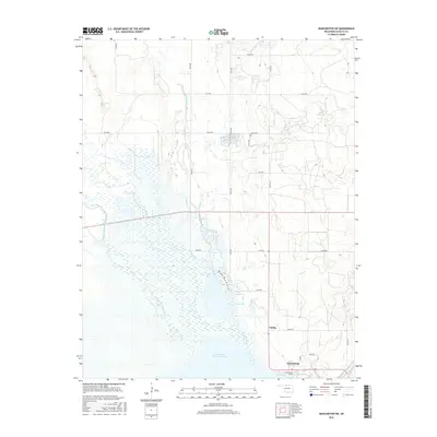
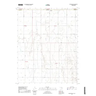
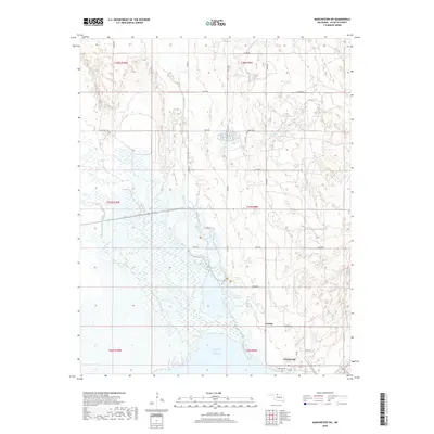
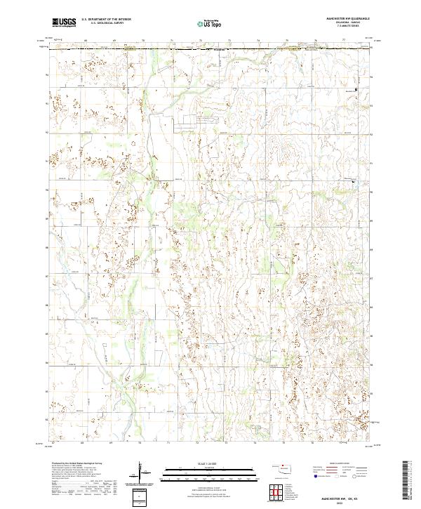
2022 Map of Manchester SW
USGS Topo · Published 2022About this map
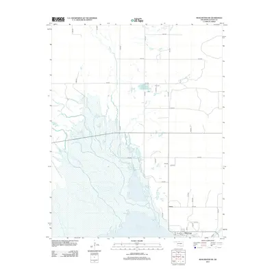
The Great Salt Plains Reservoir dominates the southern landscape of this Alfalfa County survey, where the Salt Fork Arkansas River flows into the protected wetlands of the refuge. Along the northern shoreline, the settlement of Nescatunga and the smaller community of Vining provide a point of human connection to this expansive hydrological system. The terrain is a network of small creeks and ponds, including Upper Dog Pond and Dog Pond, which support the diverse migratory bird habitat for which this region is known.
Find a feature on this map
35 named features on this map. Tap any name to fly to it.
Don’t see what you’re looking for? This feature index may not catch every label — zoom into the map to look around manually.
Map Details
Editions of this 2022 Manchester SW Map
This is the sole edition of this map. No revisions or reprints were ever made.
Historical Maps of Nescatunga Through Time
30 maps found
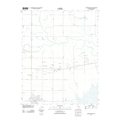
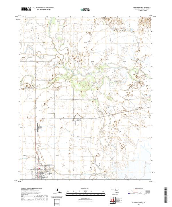
1969 Cherokee North
Alfalfa County, OK
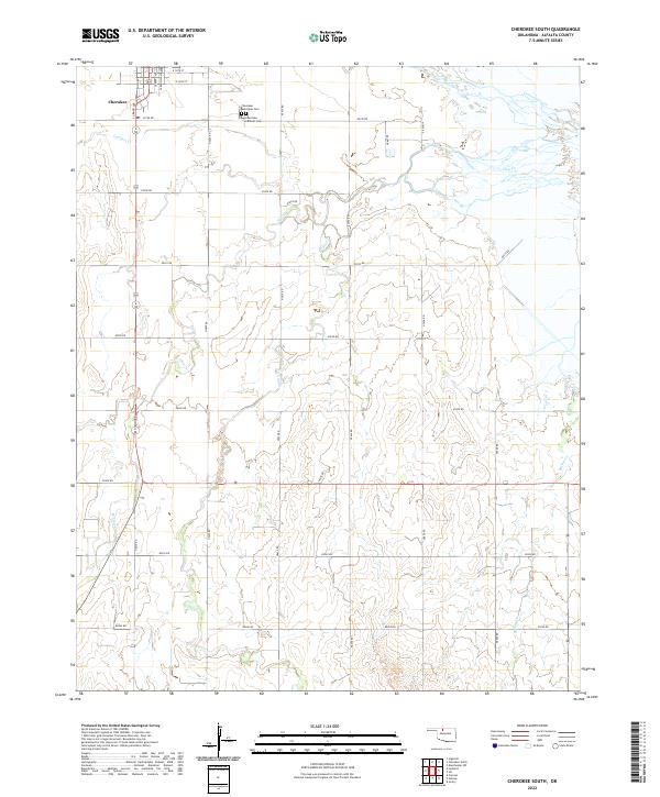
1969 Cherokee South
Alfalfa County, OK
1969 Ingersoll
Alfalfa County, OK
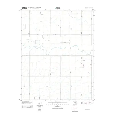
1969 Manchester NW
Alfalfa County, OK
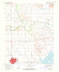
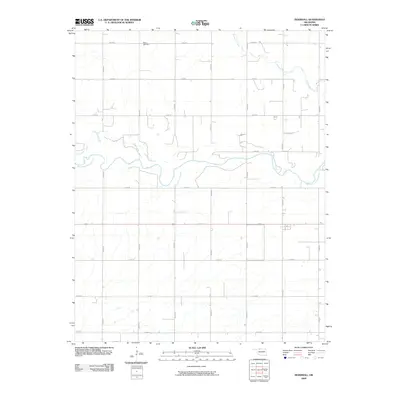
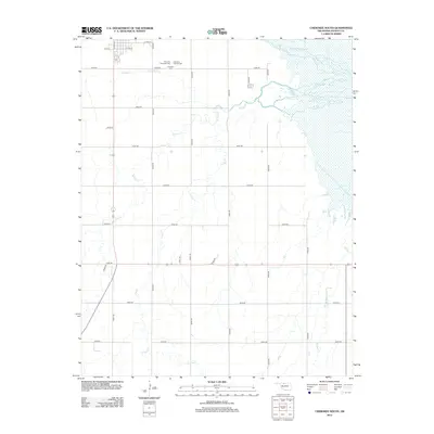
1969 Manchester SW
Alfalfa County, OK
2009 Cherokee North
Alfalfa County, OK
2009 Cherokee South
Alfalfa County, OK
2009 Ingersoll
Alfalfa County, OK
2009 Manchester SW
Alfalfa County, OK
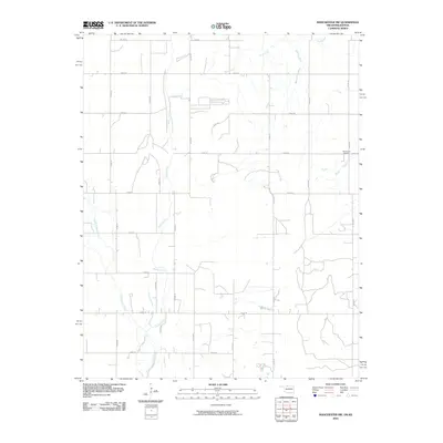
2010 Manchester NW
Alfalfa County, OK
2012 Cherokee North
Alfalfa County, OK
2012 Cherokee South
Alfalfa County, OK
2012 Ingersoll
Alfalfa County, OK
2012 Manchester NW
Alfalfa County, OK
2012 Manchester SW
Alfalfa County, OK
2016 Cherokee North
Alfalfa County, OK
2016 Cherokee South
Alfalfa County, OK
2016 Ingersoll
Alfalfa County, OK
2016 Manchester NW
Alfalfa County, OK
2016 Manchester SW
Alfalfa County, OK
2018 Cherokee North
Alfalfa County, OK
2018 Cherokee South
Alfalfa County, OK
2018 Ingersoll
Alfalfa County, OK
2018 Manchester NW
Alfalfa County, OK
2018 Manchester SW
Alfalfa County, OK
2022 Cherokee North
Alfalfa County, OK
2022 Cherokee South
Alfalfa County, OK
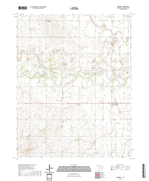
2022 Ingersoll
Alfalfa County, OK
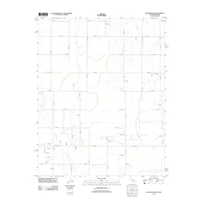
2022 Manchester NW
Alfalfa County, OK
2022 Manchester SW
Alfalfa County, OK