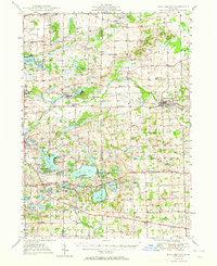
1949 Map of Manchester
USGS Topo · Published 1964About this map
Manchester and the surrounding tri-county lake country of Washtenaw, Jackson, and Lenawee counties appear here as they were mapped in the late 1940s. The landscape is defined by the headwaters of the Raisin River and a dense network of glacial lakes, including Wamplers Lake and Wolf Lake. Settlement patterns follow the New York Central rail lines, which connect the village of Brooklyn and the crossroads of Norvell to larger regional markets.
Find a feature on this map
109 named features on this map. Tap any name to fly to it.
Don’t see what you’re looking for? This feature index may not catch every label — zoom into the map to look around manually.
Map Details
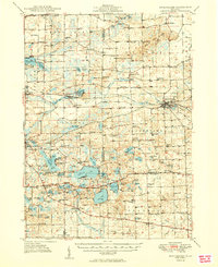
Editions of this 1949 Manchester Map
3 editions found

Other maps of this area

1902 · Dexter
USGS Topo · 1:62,500

1904 · Ann Arbor
USGS Topo · 1:125,000

1906 · Dexter
USGS Topo · 1:62,500

1906 · Saline
USGS Topo · 1:62,500

1908 · Ann Arbor
USGS Topo · 1:125,000

1919 · Stockbridge
USGS Topo · 1:62,500

1919 · Rives Junction
USGS Topo · 1:62,500

1921 · Rives Junction
USGS Topo · 1:62,500

1922 · Stockbridge
USGS Topo · 1:62,500

1935 · Jackson
USGS Topo · 1:48,000