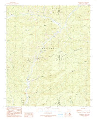
1991 Map of Maness Peak
USGS Topo · Published 1991About this map
The Blue River valley serves as the central artery for this remote high-country landscape, straddling the rugged border between Greenlee County, Arizona and Catron County, New Mexico. In the early 1990s, the area remained dominated by the Apache National Forest, with settlement patterns tied closely to the river and its tributaries. Small homesteads and operations like Luce Ranch, Blue River Ranch, and the Lazy YJ Ranch highlight the region's enduring ranching character.
Find a feature on this map
46 named features on this map. Tap any name to fly to it.
Don’t see what you’re looking for? This feature index may not catch every label — zoom into the map to look around manually.
Map Details
Editions of this 1991 Maness Peak Map
This is the sole edition of this map. No revisions or reprints were ever made.
Other maps of this area

1915 · Reserve
USGS Topo · 1:125,000

1918 · Reserve
USGS Topo · 1:125,000

1922 · Nutrioso
USGS Topo · 1:125,000

1954 · Clifton
USGS Topo · 1:250,000

1957 · Clifton
USGS Topo · 1:250,000

1958 · Clifton
USGS Topo · 1:250,000

1958 · Alpine
USGS Topo · 1:62,500

1961 · Blue
USGS Topo · 1:62,500

1962 · Clifton
USGS Topo · 1:250,000
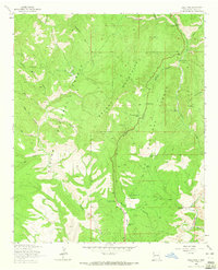
1963 · Saliz Pass
USGS Topo · 1:24,000