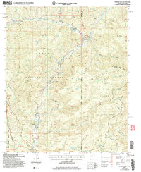
2005 Map of Maness Peak
USGS Topo · Published 2006About this map
Maness Peak stands as a prominent landmark in this borderland territory where the Apache National Forest and Gila National Forest converge. The landscape is defined by the winding course of the Blue River, which carves through deep canyons and creates fertile pockets for small-scale ranching and remote outposts. Evidence of local community life is visible at the Blue School and the nearby Blue Cemetery, serving the families tied to the Blue River Ranch and the Lazy YJ Ranch.
Find a feature on this map
77 named features on this map. Tap any name to fly to it.
Don’t see what you’re looking for? This feature index may not catch every label — zoom into the map to look around manually.
Map Details
Editions of this 2005 Maness Peak Map
This is the sole edition of this map. No revisions or reprints were ever made.
Other maps of this area

1915 · Reserve
USGS Topo · 1:125,000

1918 · Reserve
USGS Topo · 1:125,000

1922 · Nutrioso
USGS Topo · 1:125,000

1954 · Clifton
USGS Topo · 1:250,000

1957 · Clifton
USGS Topo · 1:250,000

1958 · Clifton
USGS Topo · 1:250,000

1958 · Alpine
USGS Topo · 1:62,500

1961 · Blue
USGS Topo · 1:62,500

1962 · Clifton
USGS Topo · 1:250,000
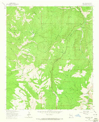
1963 · Saliz Pass
USGS Topo · 1:24,000