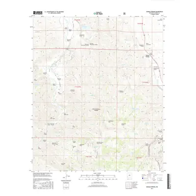
2017 Map of Mangas Springs
USGS Topo · Published 2017About this map
Mangas Springs serves as the primary settlement hub in this rugged corner of Grant County, where the desert landscape transitions into the high-elevation terrain of the Gila National Forest. The geography is defined by a dense network of drainages and springs, essential for life in the arid Southwest. Notable water features such as Bill Evans Lake and the Gila River anchor the northern and western reaches, while the Gila Middle Box marks a significant geologic narrowing of the river corridor.
Find a feature on this map
78 named features on this map. Tap any name to fly to it.
Don’t see what you’re looking for? This feature index may not catch every label — zoom into the map to look around manually.
Map Details
Editions of this 2017 Mangas Springs Map
This is the sole edition of this map. No revisions or reprints were ever made.
Other maps of this area

1909 · Silver City
USGS Topo · 1:125,000

1949 · Circle Mesa
USGS Topo · 1:24,000

1950 · Dorsey Ranch
USGS Topo · 1:24,000

1950 · Wind Mountain
USGS Topo · 1:24,000

1951 · Circle Mesa
USGS Topo · 1:24,000

1951 · Dorsey Ranch
USGS Topo · 1:24,000

1951 · Wind Mountain
USGS Topo · 1:24,000

1954 · Silver City
USGS Topo · 1:250,000

1958 · Silver City
USGS Topo · 1:250,000

1959 · Redrock
USGS Topo · 1:62,500