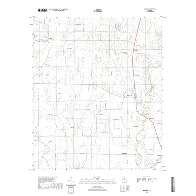
2020 Map of Mangham
USGS Topo · Published 2020About this map
Mangham sits at the center of this agricultural landscape in the Mississippi Delta region, defined by a complex network of bayous and slow-moving creeks. The town plan is oriented around Railroad Ave, reflecting the historic importance of rail transport for the local cotton and farming economy. To the north, the small community of Archibald and its nearby Archibald Cem mark the intersection of several parish roads, while the southern edge of the sheet reaches the outskirts of Baskin.
Find a feature on this map
100 named features on this map. Tap any name to fly to it.
Don’t see what you’re looking for? This feature index may not catch every label — zoom into the map to look around manually.
Map Details
Editions of this 2020 Mangham Map
This is the sole edition of this map. No revisions or reprints were ever made.
Other maps of this area

1935 · Winnsboro
USGS Topo · 1:62,500

1935 · Alto
USGS Topo · 1:62,500

1935 · Baskinton
USGS Topo · 1:62,500

1939 · Fort Necessity
USGS Topo · 1:62,500

1955 · Jackson
USGS Topo · 1:250,000

1957 · Mangham
USGS Topo · 1:62,500

1958 · Baskinton
USGS Topo · 1:62,500

1958 · Winnsboro
USGS Topo · 1:62,500

1958 · Fort Necessity
USGS Topo · 1:62,500

1961 · Jackson
USGS Topo · 1:250,000