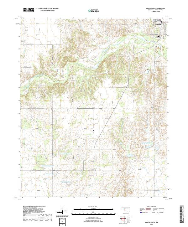
2022 Map of Mangum South
USGS Topo · Published 2022About this map
The southern outskirts of Mangum define the northern edge of this Greer County landscape, where the Greer County Courthouse stands as a local anchor. The terrain is deeply influenced by the winding course of the Salt Fork Red River, which cuts through the region alongside tributaries like Fish Cr and Mulberry Cr. This modern survey reveals a highly managed water system characterized by a series of catchment basins, including the Tri-County Turkey Cr Site 28c Reservoir and several related sites to the south. These reservoirs illustrate modern soil conservation and water management strategies in the Oklahoma plains.
Find a feature on this map
44 named features on this map. Tap any name to fly to it.
Don’t see what you’re looking for? This feature index may not catch every label — zoom into the map to look around manually.
Map Details
Editions of this 2022 Mangum South Map
This is the sole edition of this map. No revisions or reprints were ever made.
Other maps of this area

1955 · Lawton
USGS Topo · 1:250,000

1964 · Martha
USGS Topo · 1:24,000

1971 · Russell
USGS Topo · 1:24,000

1971 · Mangum North
USGS Topo · 1:24,000

1971 · Granite
USGS Topo · 1:24,000

1971 · Mangum South
USGS Topo · 1:24,000

1971 · Mc Queen
USGS Topo · 1:24,000

1971 · Duke
USGS Topo · 1:24,000

1971 · Hester
USGS Topo · 1:24,000

1971 · Reed
USGS Topo · 1:24,000