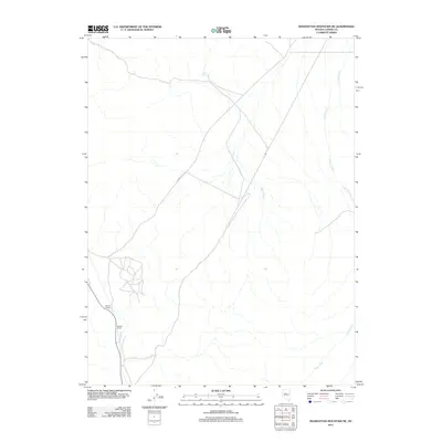
2011 Map of Manhattan Mountain NE
USGS Topo · Published 2011About this map
The Reese River valley in Lander County defines this landscape, where early 21st-century ranching operations continue a long tradition of high-desert land use. The map highlights specific local holdings such as Steiner Ranch and Walters Ranch, illustrating the concentrated settlement patterns typical of this arid region where water access is paramount. Transportation across the valley floor is anchored by Carico Valley Rd, which serves as a primary artery for the sparse population. Hydrological features like Burro Spring, Hall Creek, Willis Creek, and Iowa Creek are essential landmarks, showing the drainage network that feeds into the river system. This survey documents the intersection of rural infrastructure and the natural geography of central Nevada.
Find a feature on this map
8 named features on this map. Tap any name to fly to it.
Don’t see what you’re looking for? This feature index may not catch every label — zoom into the map to look around manually.
Map Details
Editions of this 2011 Manhattan Mountain NE Map
This is the sole edition of this map. No revisions or reprints were ever made.
Other maps of this area

1926 · Roberts Mountains
USGS Topo · 1:250,000

1929 · Roberts Mountains
USGS Topo · 1:250,000

1932 · Sonoma Range
USGS Topo · 1:250,000

1939 · Sonoma Range
USGS Topo · 1:250,000

1955 · Millett
USGS Topo · 1:250,000

1955 · Winnemucca
USGS Topo · 1:250,000

1956 · Hall Creek
USGS Topo · 1:62,500

1958 · Winnemucca
USGS Topo · 1:250,000

1959 · Millett
USGS Topo · 1:250,000

1961 · The Cedars
USGS Topo · 1:62,500