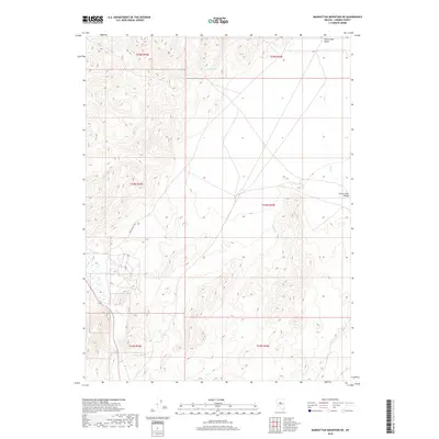
2018 Map of Manhattan Mountain NE
USGS Topo · Published 2018About this map
Carico Lake Valley dominates this section of Lander County, where the transition from high-elevation terrain to alluvial basins defines the landscape's character. Significant water resources including Burro Spring and the Reese River indicate the vital hydrography required for life and ranching in this interior Nevada region. The map shows a clear network of drainages such as Hall Cr., Willis Cr., and Iowa Cr., which feed into the valley floor. Transportation is primarily facilitated by the Carico Valley Rd, which serves as a lone artery through the expansive township and range divisions. The sparse distribution of named points highlights the vastness of the territory at the time of this 2018 survey, reflecting a landscape where water and access roads are the primary markers of human presence.
Find a feature on this map
14 named features on this map. Tap any name to fly to it.
Don’t see what you’re looking for? This feature index may not catch every label — zoom into the map to look around manually.
Map Details
Editions of this 2018 Manhattan Mountain NE Map
This is the sole edition of this map. No revisions or reprints were ever made.
Other maps of this area

1926 · Roberts Mountains
USGS Topo · 1:250,000

1929 · Roberts Mountains
USGS Topo · 1:250,000

1932 · Sonoma Range
USGS Topo · 1:250,000

1939 · Sonoma Range
USGS Topo · 1:250,000

1955 · Millett
USGS Topo · 1:250,000

1955 · Winnemucca
USGS Topo · 1:250,000

1956 · Hall Creek
USGS Topo · 1:62,500

1958 · Winnemucca
USGS Topo · 1:250,000

1959 · Millett
USGS Topo · 1:250,000

1961 · The Cedars
USGS Topo · 1:62,500